
The Pamir Highway - Part 7 (the end!)
Day 7: From Murghab to Sary-Tash


It was a crisp, cold day. During the night the temperature fell to -11ºC. Thanks to the dry air we had amazing visibility, and far into the distance we could see the Muztagh Ata, a 7500m peak in China. The lower part of Khorog was covered by the smoke of burnt excrement, whose pungent smell had been creeping up our nostrils through the night.
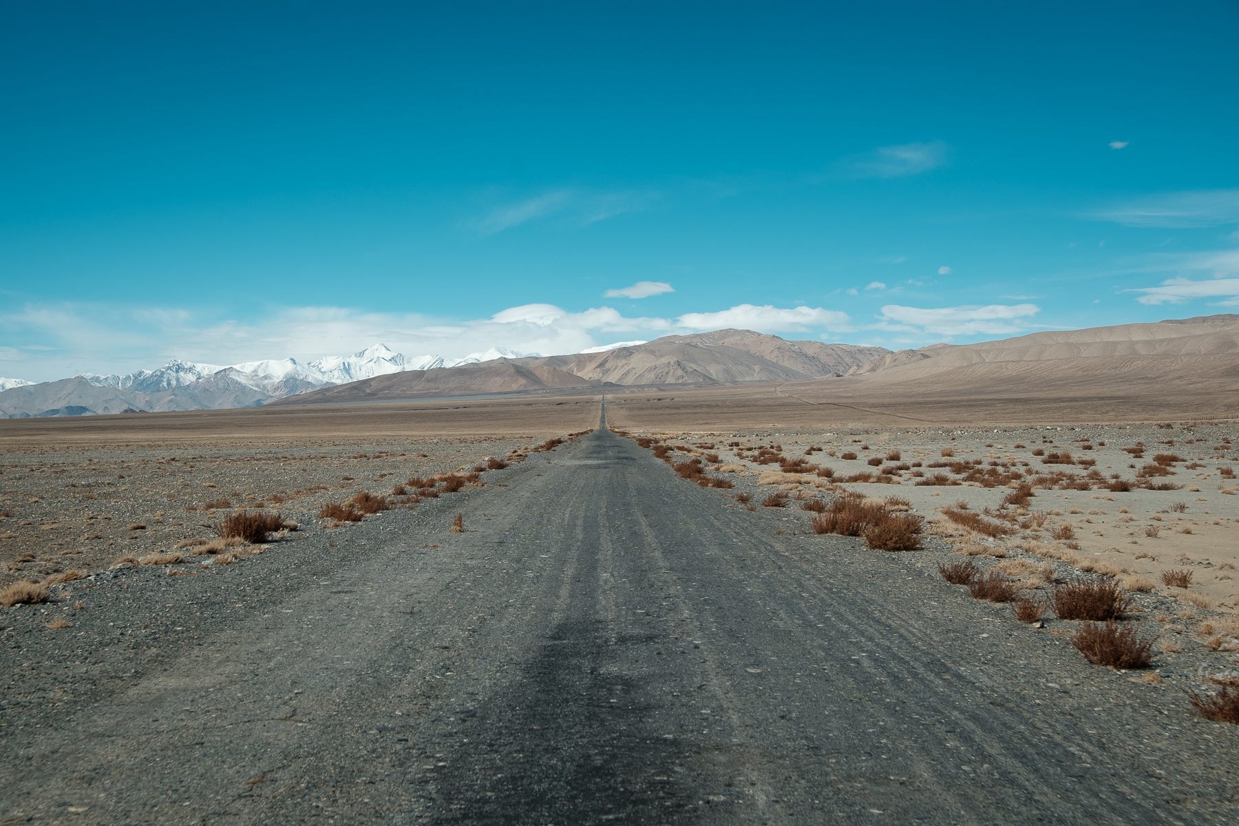
Leaving Khorog, one abandons that wild-but-traveled part of the Pamir Highway that connects Dushanbe to China. From Khorog to the Kyrgyz border, it looks like the road is never used by a single car. As a matter of fact, we wouldn’t be meeting anyone else on the road, that day. As we drove through the vacuum of the plateau, we saw a little abandoned outpost on the side of the road. It was marked with a number: 1899, its date of construction. To monitor potential British activity, Russian soldiers were already living here – in extremely harsh conditions – decades before the first road would be built.
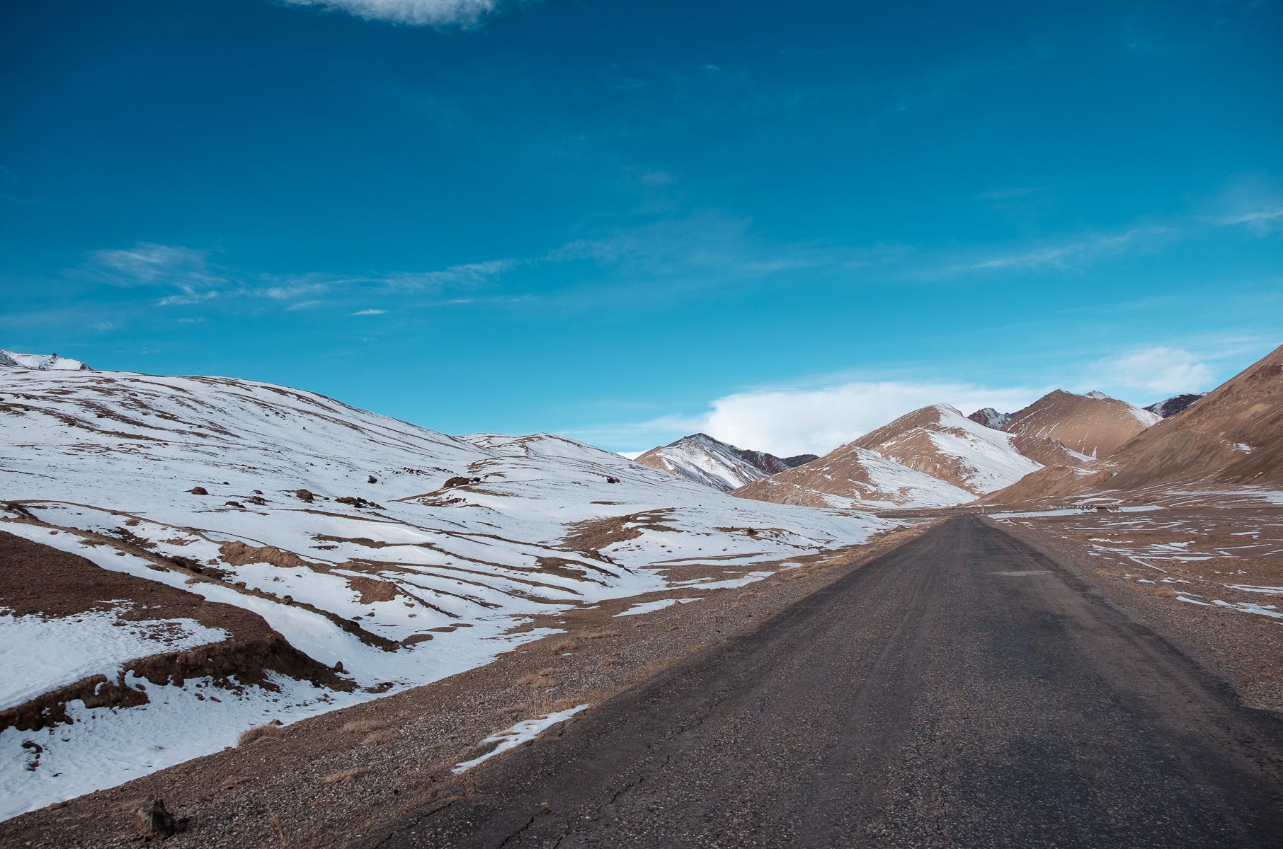
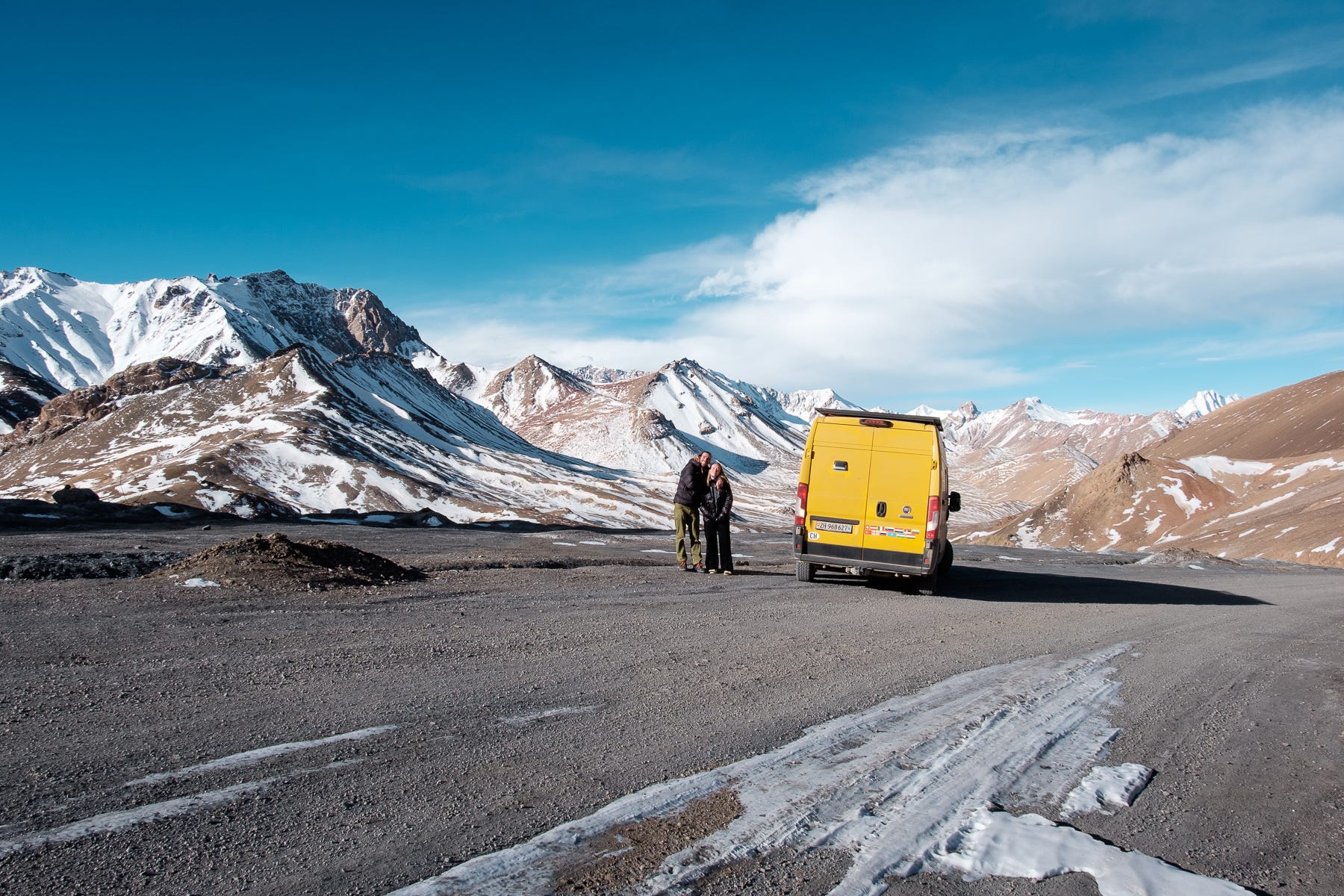
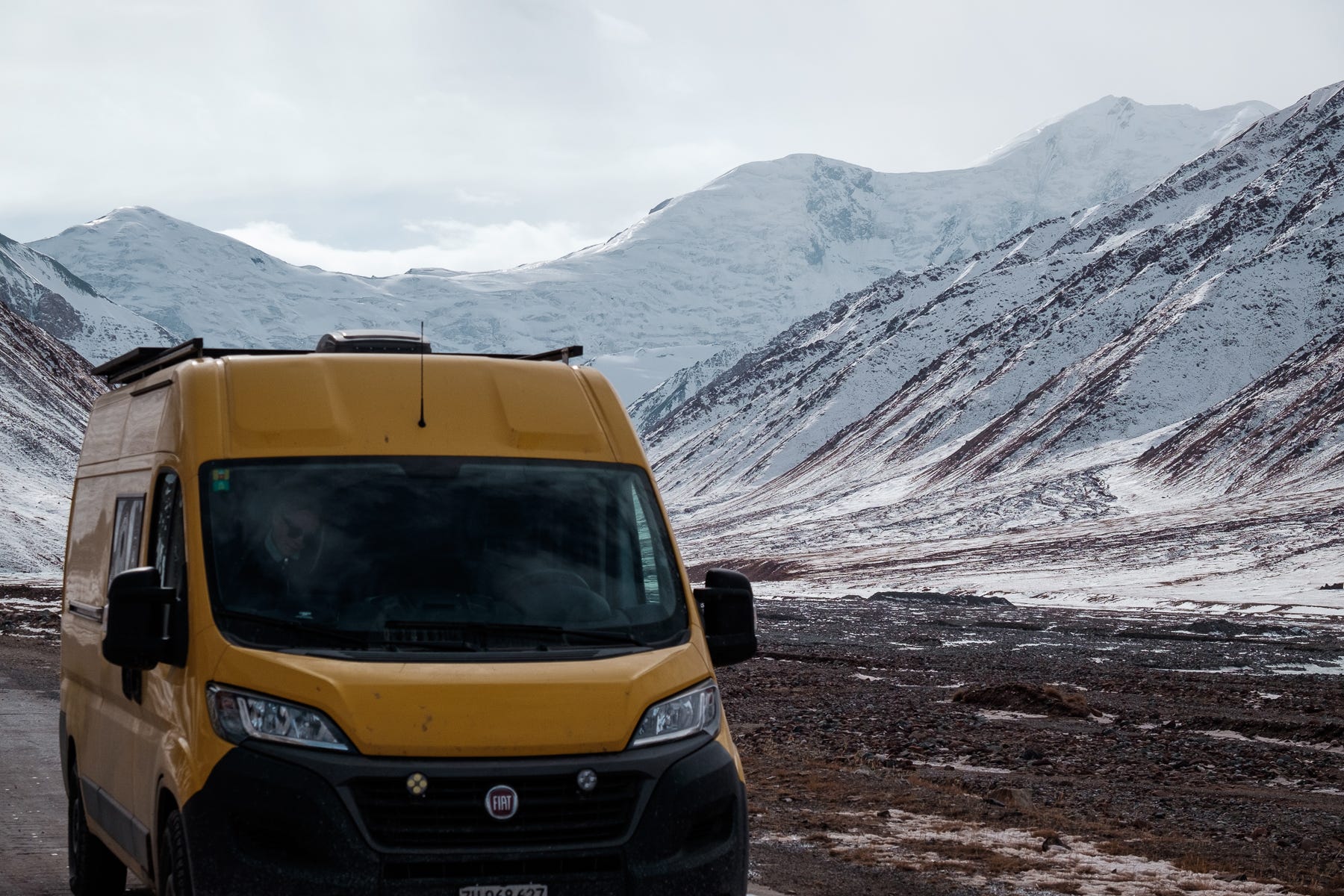
The road, which was flowing steadily at 4000m, began climbing. On a surprisingly decent asphalt, the van used its remaining power to take us to what will most likely remain the highest point of our entire overlanding trip. Slightly breathless and very excited, we got out for a photo. We were at 4655m, on top of the Ak Baytal pass. In front of us, the mountains were simply spectacular.
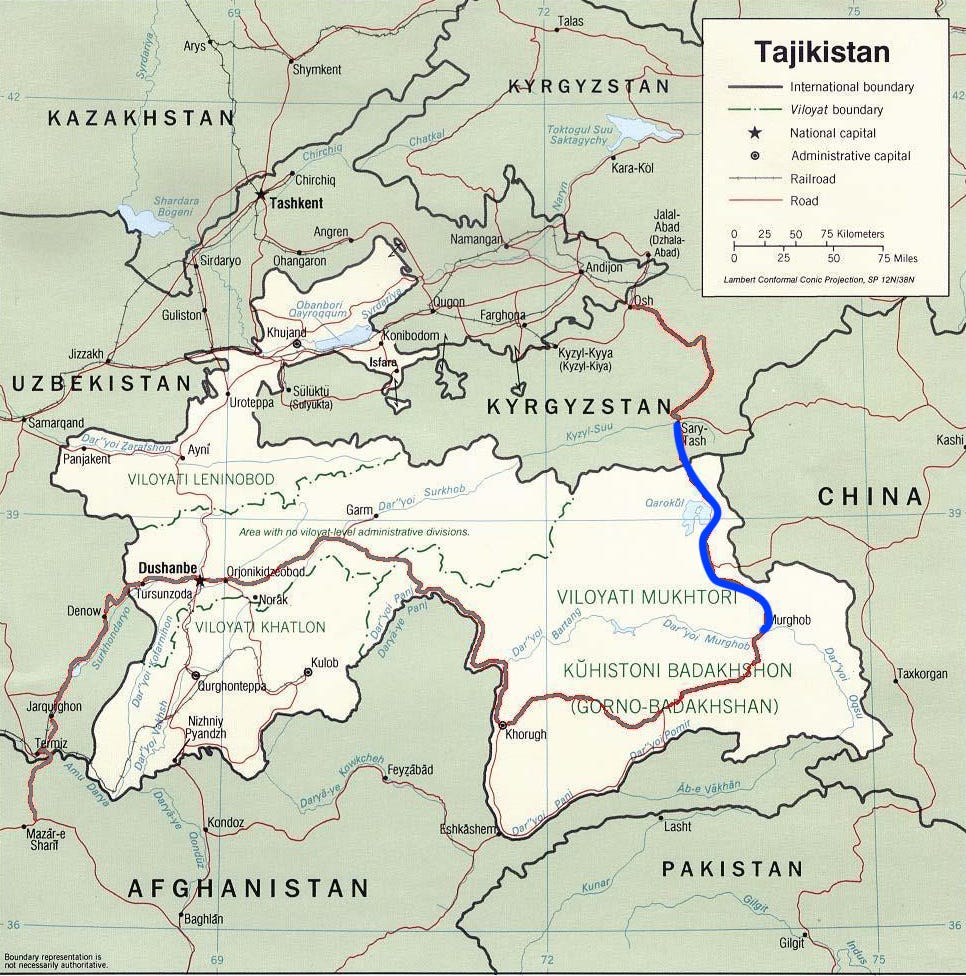
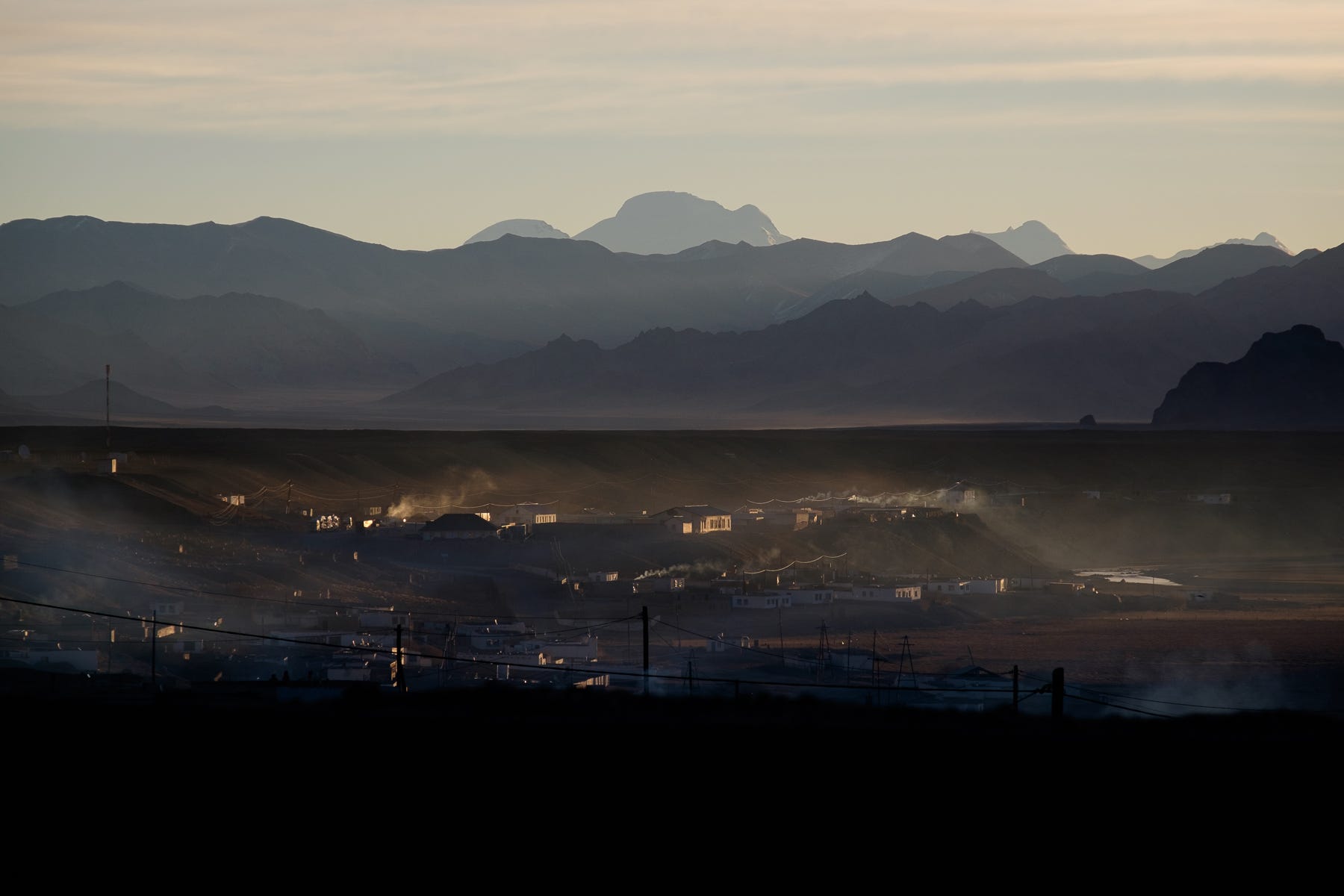
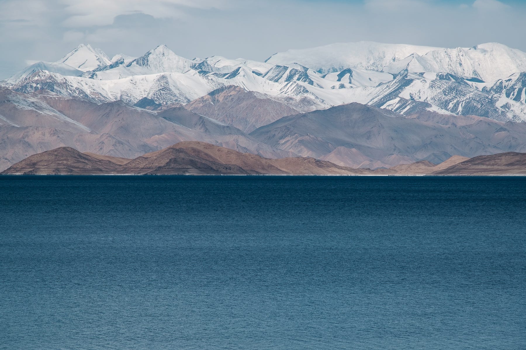
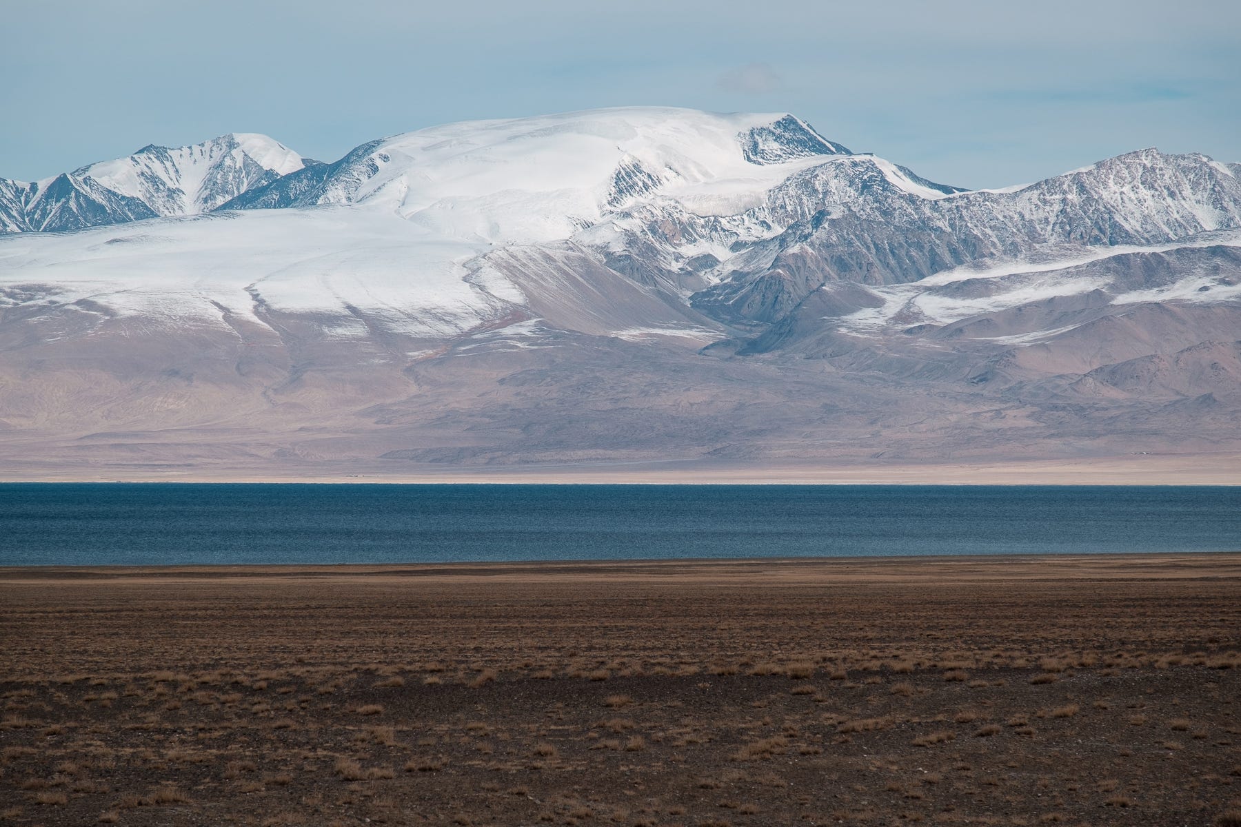
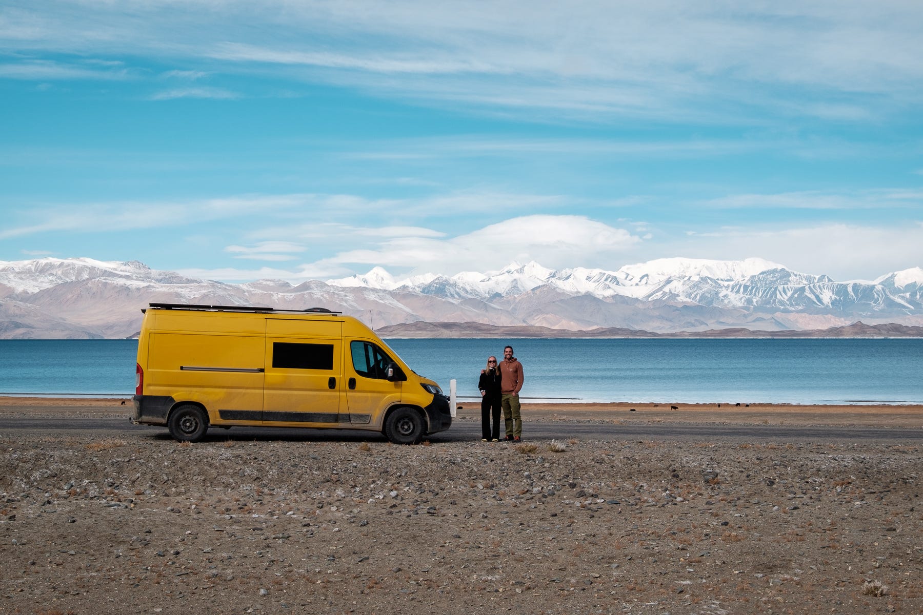
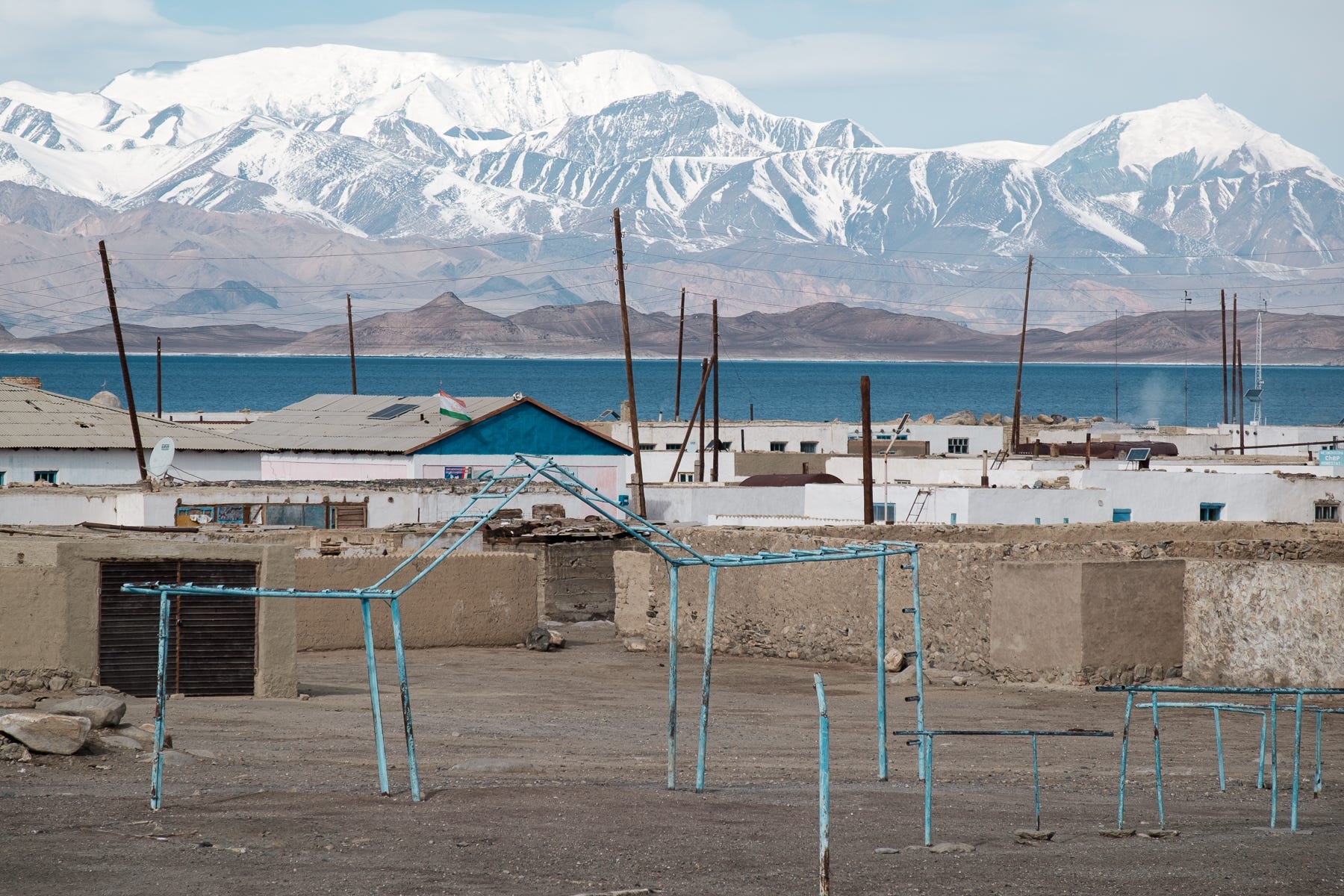
As we drove through the last plateau, we started seeing the Karakul lake, one of the largest high-altitude lakes in the world. Karakul is also – not surprisingly – the name of the only settlement in this part of the Pamir, a little mass of houses and sheep dotting the lake shore. For the inhabitants, given the closure of the Kyrgyz border to the locals, shopping for supplies is a 1000km drive through one of the most unimaginable roads on Earth.
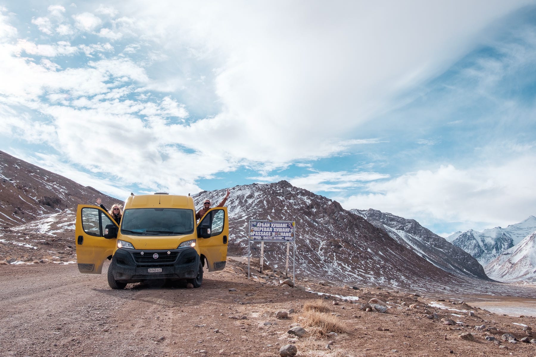
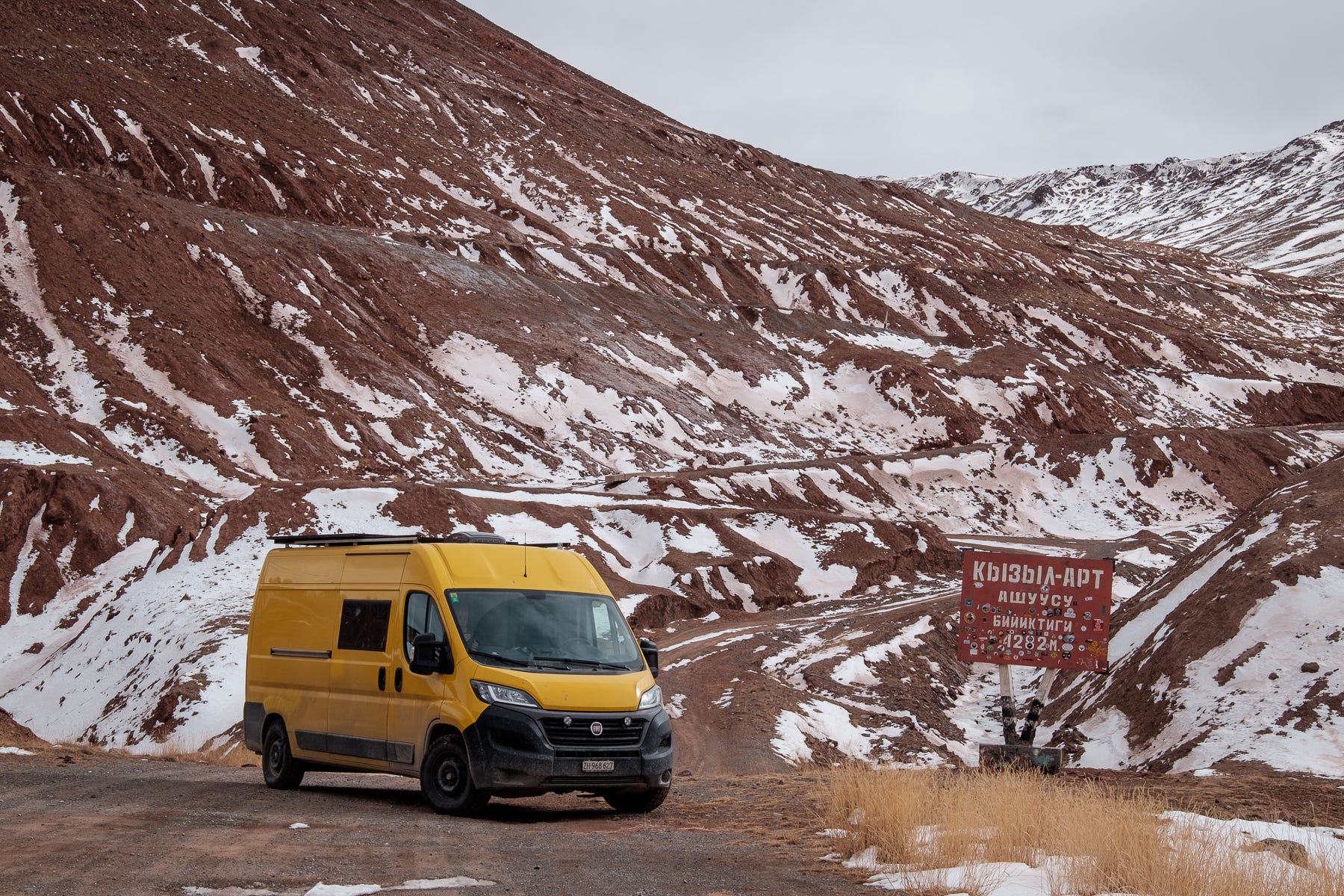
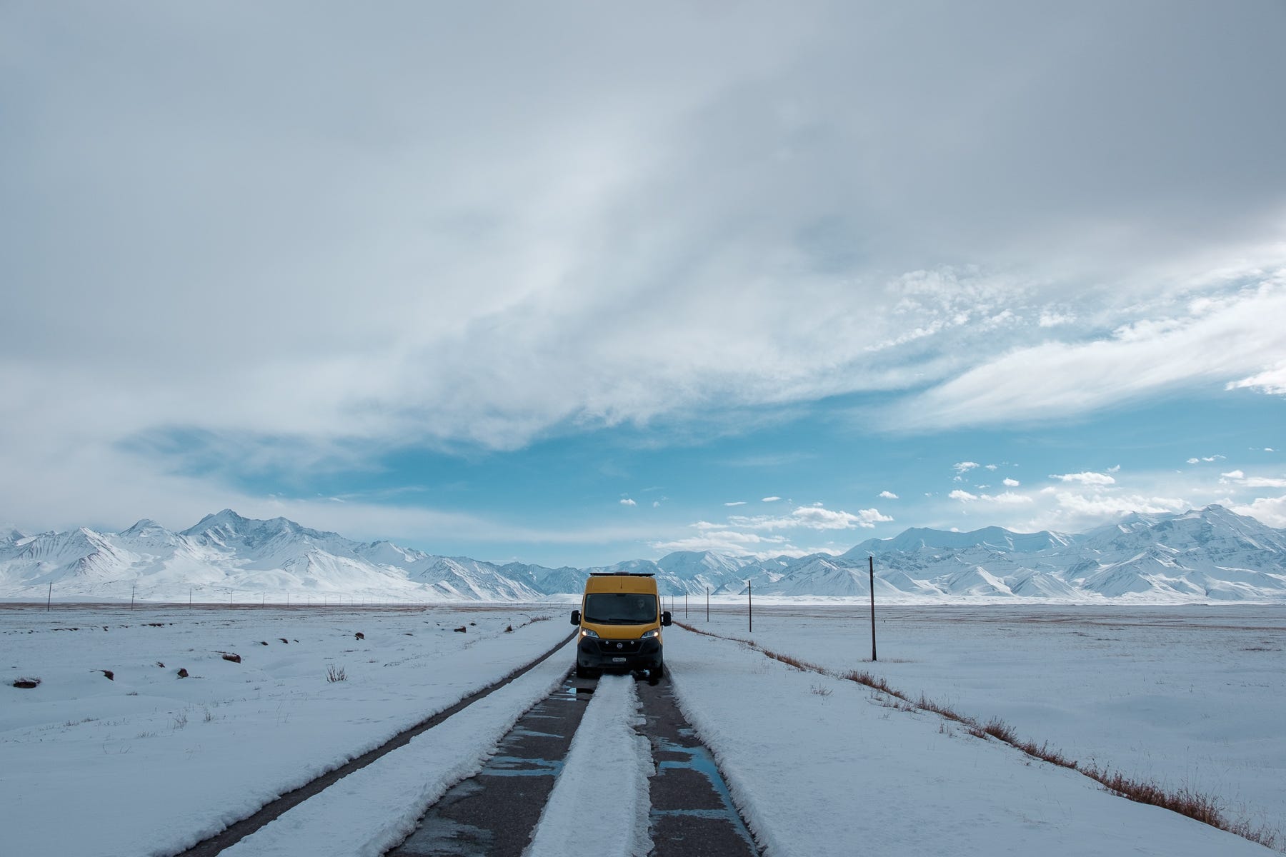
We realized we were a little worried, as we were approaching the most difficult section of this entire adventure in the Pamir. To make things worse, it was coming at its very end. The border between Tajikistan and Kyrgyzstan is located on top of the Kyzyl Art pass. The complexity lies in the fact that the border checkpoints are not located where the theoretical border is. The Tajik checkpoint is a few hundred meters below the pass, while the Kyrgyz checkpoint is 20km past it. The stretch of road separating the two checkpoints is a long, unmaintained no-man’s-land. No country has taken responsibility for this section, which has probably been last repaired when the entire region fell under the Soviet Union flag. To top it off, while the high Pamirs are very dry and see little snow, this is not the case for the northern flank of the Kyzyl Art pass, from which we would be descending.
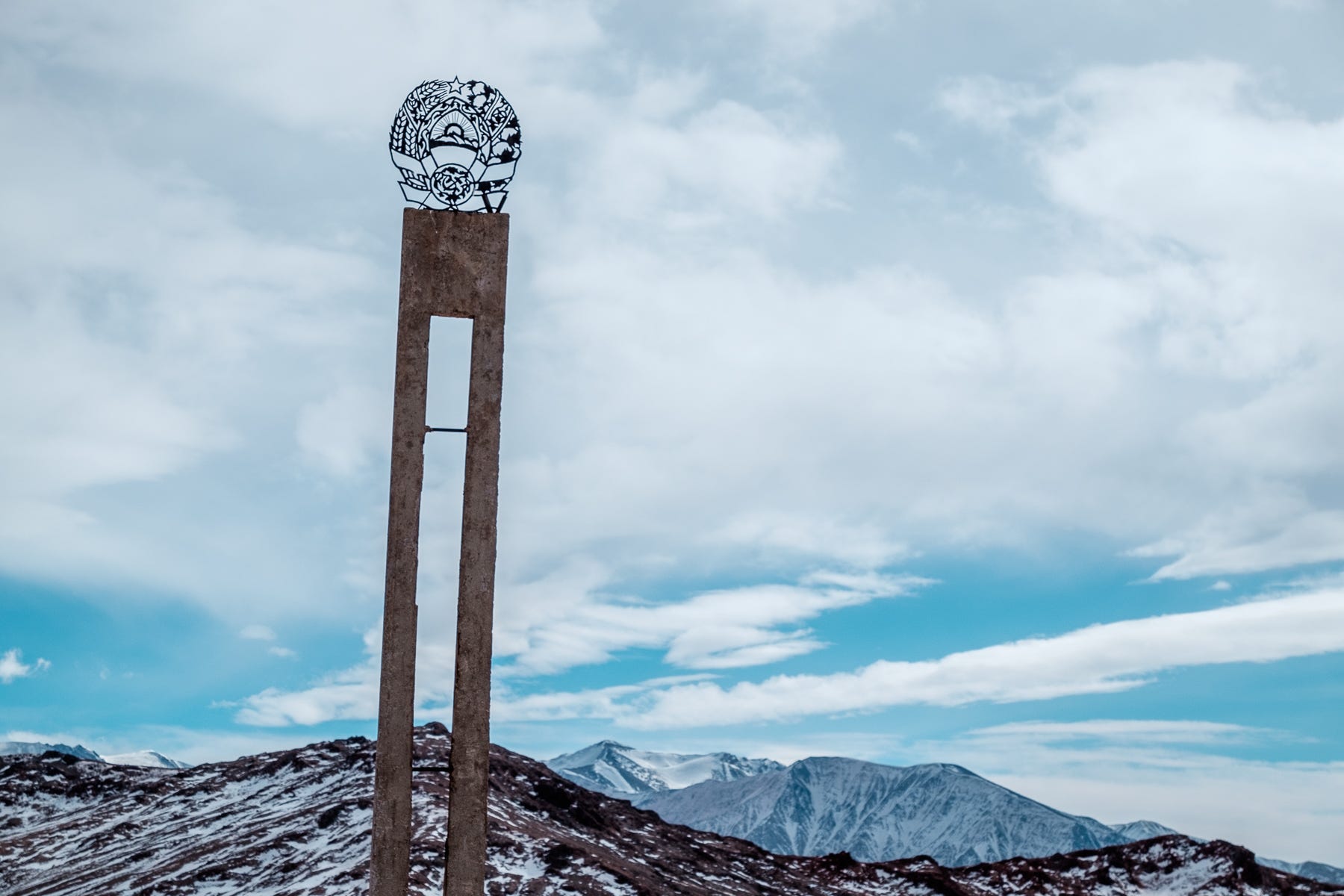
After a short climb to 4200m, we reached the Tajik exit checkpoint. We might have been the first car crossing it in a good while. Not many tourists get here with their cars, and the last people we had heard of crossed here one month ago. We were surprised to discover that this border point is kept open year round, 24/7, and that the Kalashnikov-equipped teenagers that manage it were quick and efficient. As soon our passport numbers had been inscribed in a big paper book, we were free to leave. The road became immediately worse, and we realized that the cold season might be a blessing: the red mud upon which we had to drive was frozen hard. Using all the ground clearance we have, we went over the Kyzyl Art pass, past an old Soviet border sign.
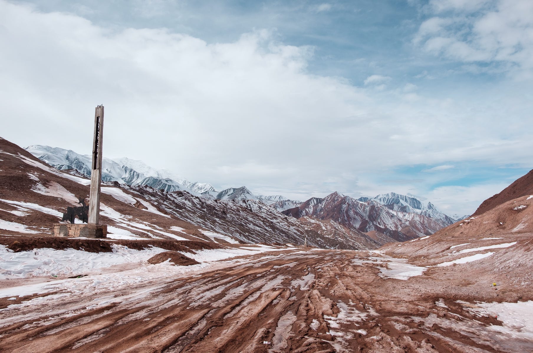
Driving very slowly over sharp stones and frozen mud ridges, we descended an infamous sequence of hairpin turns: here even 4x4 sometimes get stuck in wet conditions. We realized – as we drove on the ice patched track – that in front of us the mountainous flanks of the valley were slowly disappearing.
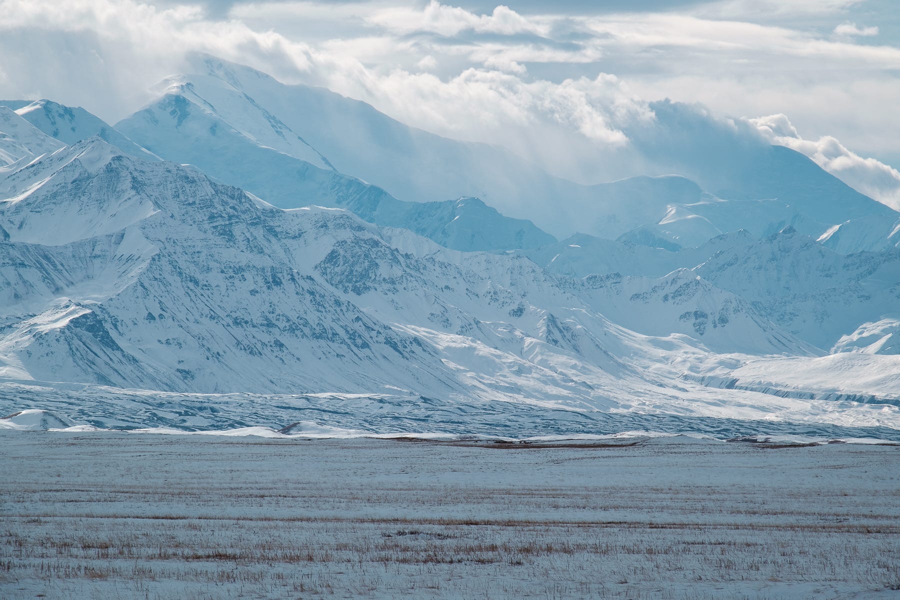
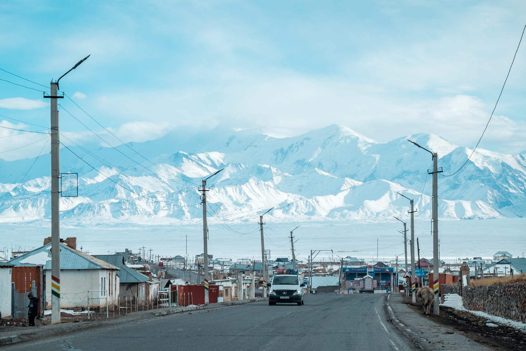
The Kyrgyz checkpoint marked the end of the no-man’s-land, and one passport stamp later we were driving straight out of the mountains. Surprisingly, the road was now covered in snow, but it was easy and flat all the way to the village of Sary-Tash. We took a short break to look back, and the endless fortress of snowy mountains from which we were coming took our breath away. We couldn’t even understand where the road that we took was, nor believe that behind this 6000m-tall wall was a dry, sunny highland. Had we attempted to drive the Pamir Highway in the opposite direction, we would have probably stopped right here, on a snowy road disappearing into the mountains, believing the crossing to be impossible.
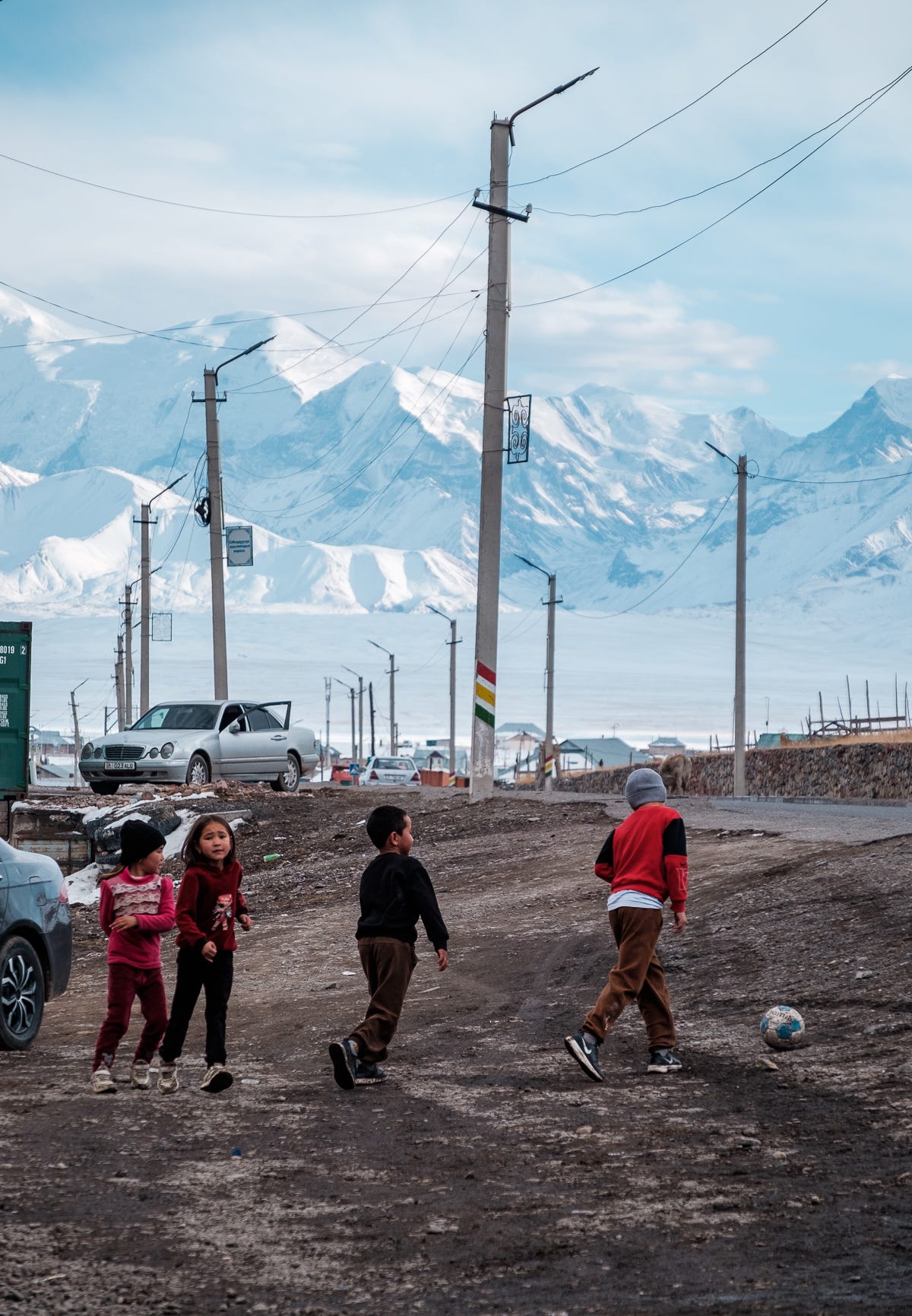
In Sary-Tash, we had a simple but delicious lunch, and realized that all difficulties were over. While the rest of the road to Osh is formally part of the M41 Pamir Highway, it’s a wide and well-maintained Kyrgyz highway that takes regular year-round traffic. We walked out of the restaurant, and watched the white Pamir peaks touching the sky in the late-afternoon light, speechless. Screaming kids were playing in the street. One of us said “Hey, we drove the Pamir…”.
This was the last episode from our 1200km drive through the Pamir.
As you probably noticed, it took us a long time to write about it. It was a big effort. If you enjoyed it, leave a comment. We really enjoy reading them and hearing your thoughts!
Grazie ragazzi per il vostro racconto così dettagliato nelle descrizioni, siete stati coraggiosi ma credo anche molto preparati e informati!! Buona continuazione, io continuo a seguirvi con curiosità e interesse!!
Thanks letting me follow along. I read each installment and loved your pictures, descriptions and overall storytelling. You are truly on the adventure of a lifetime.